Come journey with us as we explore and highlight the people and places that make the Blue Ridge and Southern Appalachian Mountains special and unique
![]()
Wander Far…But Explore Local
![]()
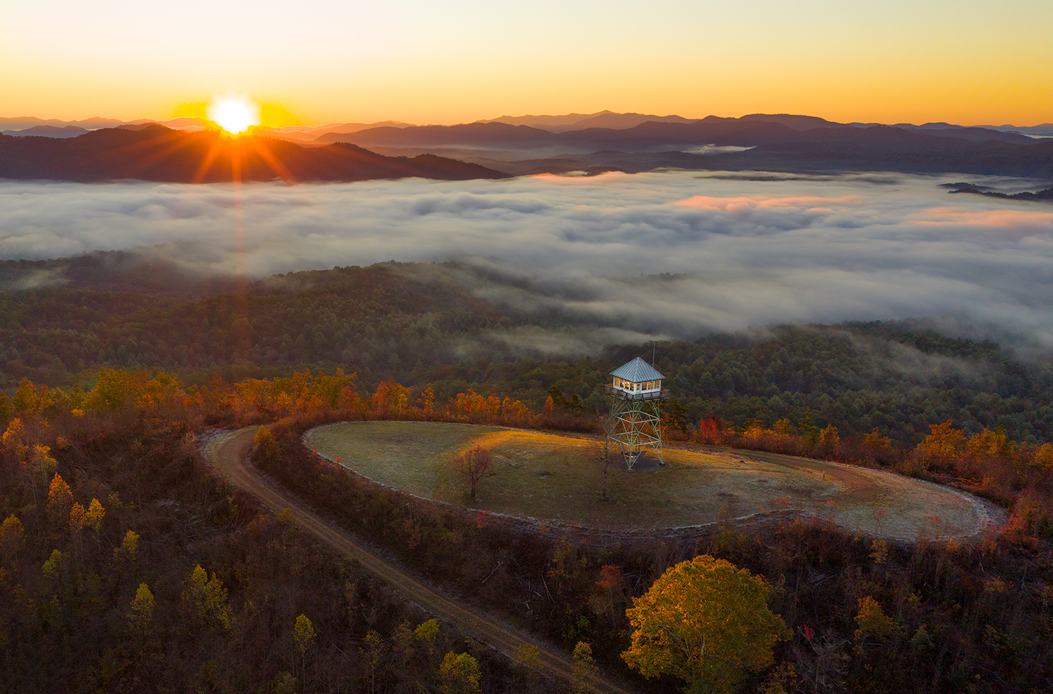
In the early 20th century, forestry agencies constructed dozens of lookout structures atop western North Carolina’s mountains as the backbone of a fire detection system. Many of these lookouts survive in North Carolina today, and they represent some of the most scenic destinations for hikers who want to see the incredible vistas of the southern … Read More “Enchanting Vistas From North Carolina’s Lookout Towers with Peter Barr” »
In the summer of 1977, I plopped into the front seat of a Volkswagon Van while driving through Germany on the Autobahn Highway. My dad handed me my very first map and told me I was now his co-pilot. It was my job to make sure I told him where to turn and when. I … Read More “Find Your Way, Lose Yourself with Pisgah Map Company (Pete Kennedy & Jack Henderson)” »