Come journey with us as we explore and highlight the people and places that make the Blue Ridge and Southern Appalachian Mountains special and unique
![]()
![]()


In the summer of 1977, I plopped into the front seat of a Volkswagon Van while driving through Germany on the Autobahn Highway. My dad handed me my very first map and told me I was now his co-pilot. It was my job to make sure I told him where to turn and when. I stared down at the unfolded map, full of intersecting lines of various colors, street and town names, historic castles and places of interest. I remember the feeling of being important, like it was my job to help our family navigate our way through Europe that summer, and this map I was now holding – it was the key to unlocking our adventure.
Since then I have used many maps, atlases, and my favorite – the Gazeteer map. I loved the Topo designs, major highways and roads, dirt roads, trails, land use data, and of course all of the essential information for any outdoor enthusiast, such as points of interest, landmarks, state and national parks, campgrounds, historic sites, canoe trips, scenic drive recommendations and more. They were perfect for sightseeing, exploring back roads, outdoor recreation and trip planning.
And then, just as quickly as smartphones and mobile trail apps came into existence, the paper maps faded into the distance. I think I have like one NC State Map left.
Guide books and trail maps have been replaced with downloadable trail apps for my cell phone. They’ve been pretty handy, and helpful to learn about directions to trailheads and points of interest. I have leaned on them with an insane amount of dependence. That is until recently.
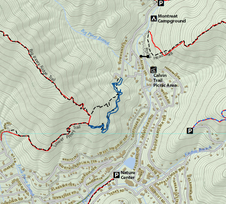
I have been following the Pisgah Map Co as well as the work of local organizations, conservation groups, and land use planners who are partnering together to create new trails and areas to discover in our mountains. What I am discovering is that maps actually tell stories. If done well, they connect people to places, telling the story of the area; it’s history, topography, rivers, trails, and uniqueness to the adventurer who will come away from that area with lifelong memories.
Since 2009, Pisgah Map Company has been putting their Western North Carolina roots to work for their fellow trail bums. With a unique fusion of elegant design and trail-born intuition, they produce the best maps on the market – the go-to for anyone going outside. In this episode, Exploration Local had the distinct pleasure of sitting down with Pete Kennedy and Jack Henderson who share a deep passion for outdoor recreation and cartography. Pisgah Map Company has been exploring the Southern Appalachian region for over 30 years as avid mountain bikers, hikers, kayakers and runners, which is why their maps are more than just data on paper. They’re the culmination of decades of local knowledge and firsthand experience in the woods, rivers, rocks and trails of the Southern Appalachians.
